The World's Aerial Visual Engine

From instant aerial generation to professional editing workflows, Aerials.ai is how the world creates cinematic aerial media at scale.

Trusted by thousands • No drone • Free to start
Powered by SkySage, LLC

Every aerial shot you need. No drone. No pilot. No wait.

Drop a location · Layer in data and visuals · Export in minutes.

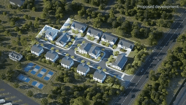
Skip the outsourcing, lengthy edits, and tedious motion tracking. Generate broadcast-quality aerials in minutes.

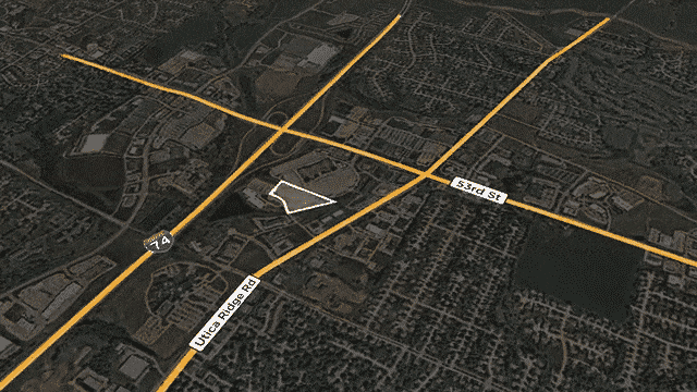
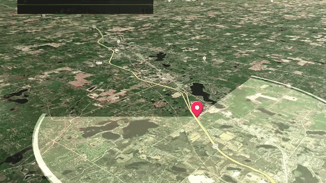
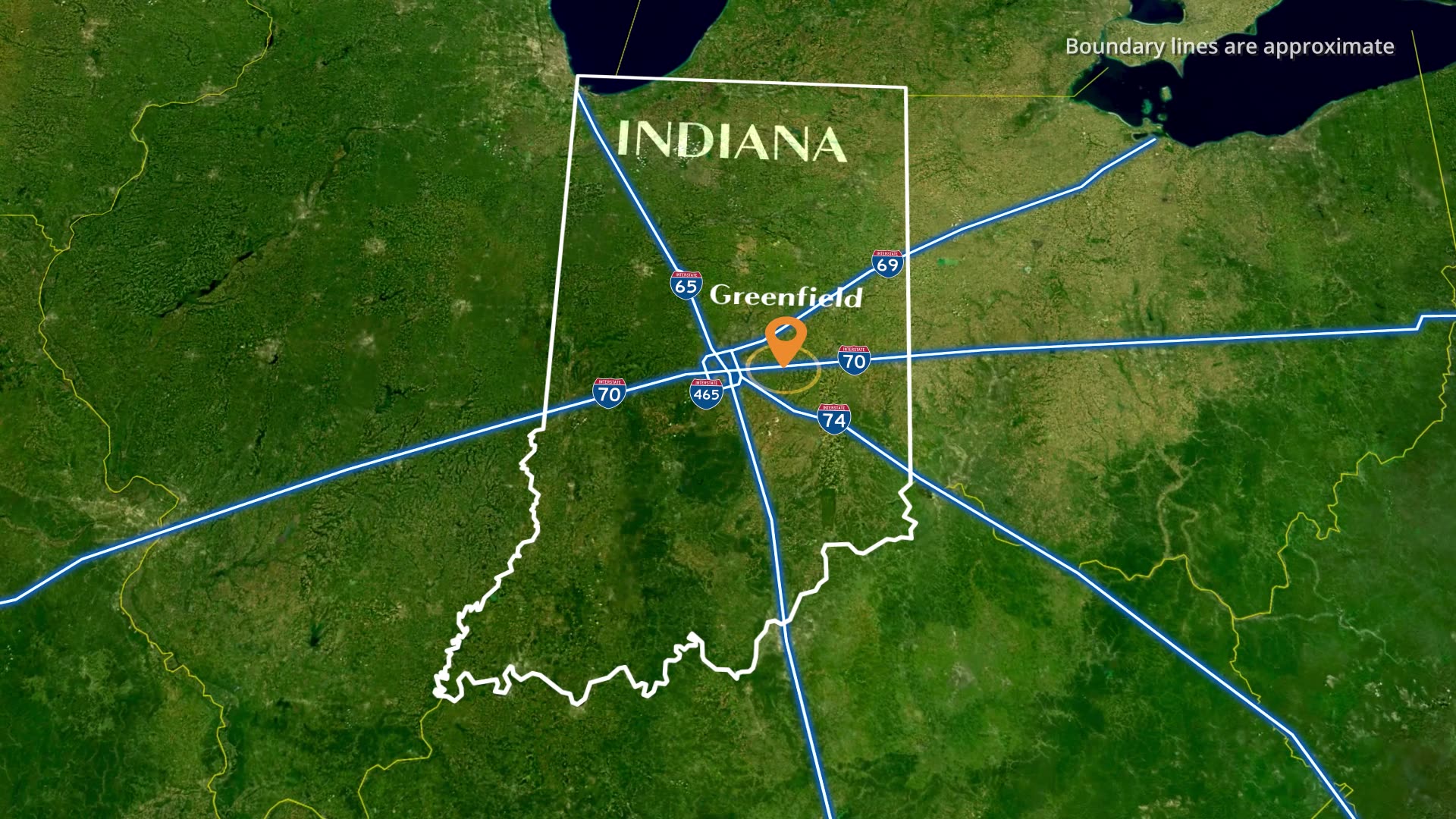
Surface nearby landmarks, POIs, and surroundings to give your audience a true sense of place.

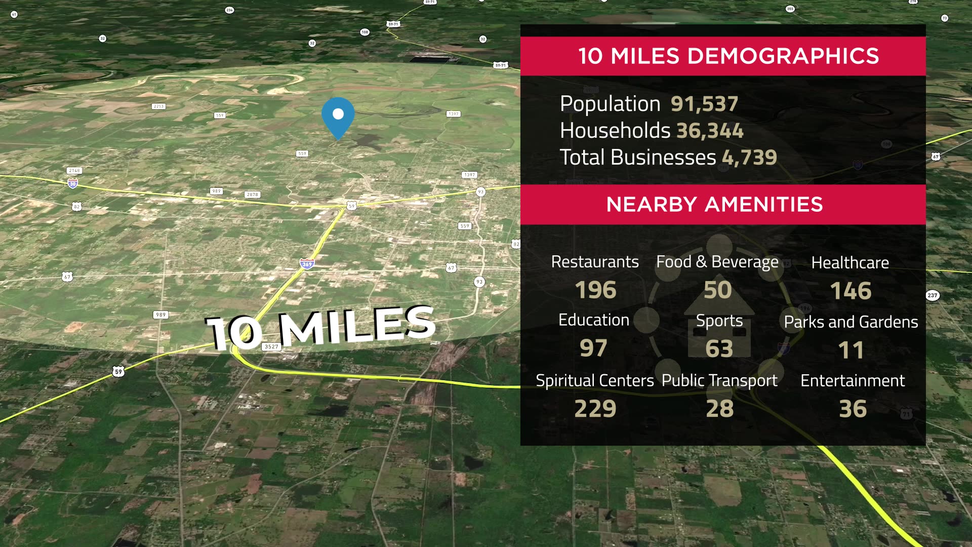
Layer demographics, parcel boundaries, and POI data directly onto your aerial footage.

Export with your logo, colors, and brand baked in — ready for any client or channel.

Render a complete aerial film, or grab individual clips straight into your timeline.

Give us an address. Aerials.ai scripts, renders, and delivers — in minutes.

create an aerial
Free to use. No credit card required.

Hi-tech Marketing Solutions

Sell your vision. Efficient. Fast.

Click Here To View Our Work
Boundaries
Highlights the parcel outline so buyers instantly see its limits.
Property Boundaries
Tilts the terrain to reveal slopes for quick buildability insight.
Nearby amenities
Overlays your plans on the map to show the build in place.
demographic insights
Coming soon!
Animates the drive, showing travel time to a key destination.
area overview
From the Community
From the Community